Travel Guide of Twizel in New Zealand by Influencers and Travelers
Twizel is the largest town in the Mackenzie District, in the Canterbury Region of the South Island of New Zealand. The town was founded in 1968 to house construction workers on the Upper Waitaki Hydroelectric Scheme.
The Best Things to Do and Visit in Twizel
TRAVELERS TOP 10 :
- Ben Ohau
- Lake Pukaki viewing point
- Lake Ohau
- Lake Pukaki
- Ohau
- Omarama
- Mount Cook
- Lake Tekapo
- Tekapo
- Lake Tekapo Township
1 - Ben Ohau
Ben Ohau Range is a mountain range in Canterbury Region, South Island, New Zealand. It lies west of Lake Pukaki, at 44°S 170°E.
Learn more Book this experience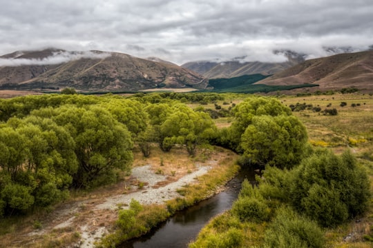
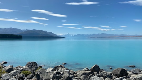
2 - Lake Pukaki viewing point
8 km away
Learn more

3 - Lake Ohau
20 km away
Lake Ōhau is a lake in the Mackenzie Basin in the South Island of New Zealand. The Hopkins and Dobson rivers fed into the northern end of Lake Ōhau. These rivers have their headwaters in the Southern Alps / Kā Tiritiri o te Moana.
Learn more Book this experience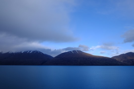
4 - Lake Pukaki
22 km away
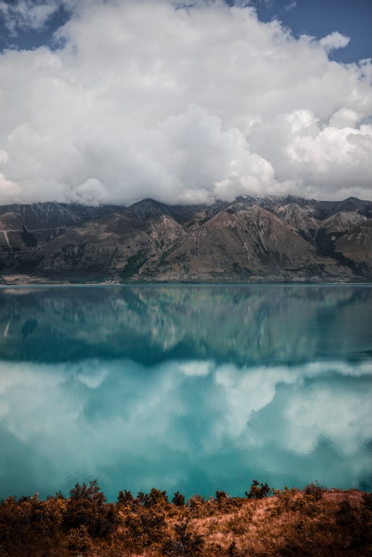
Lake Pukaki is the largest of three roughly parallel alpine lakes running north–south along the northern edge of the Mackenzie Basin on New Zealand's South Island. The others are Lakes Tekapo and Ohau.
Learn more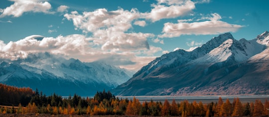
5 - Ohau
26 km away
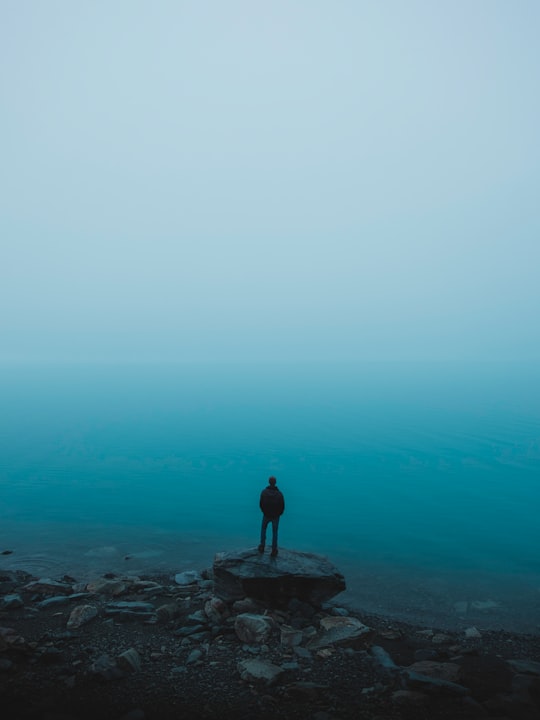
Ohau is a small commercial skifield in the foothills of New Zealand's Southern Alps, near the boundary between the Otago and Canterbury regions, and close to the western shore of the lake of the same name.
View on Google Maps Book this experience
6 - Omarama
28 km away
Omarama is a small town at the junction of State Highways 8 and 83, near the southern end of the Mackenzie Basin, in the South Island of New Zealand. Omarama is in the Waitaki District, in the southern Canterbury region. The Ahuriri River is a short distance to the north of the township.
Learn more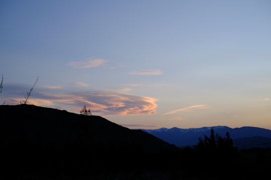
7 - Mount Cook
37 km away
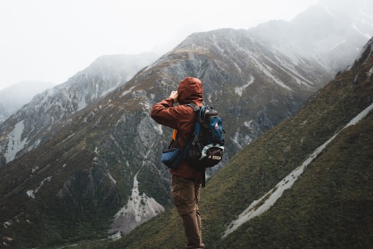
Aoraki / Mount Cook is the highest mountain in New Zealand. Its height, as of 2014, is listed as 3,724 metres. It lies in the Southern Alps, the mountain range which runs the length of the South Island.
Learn more Book this experience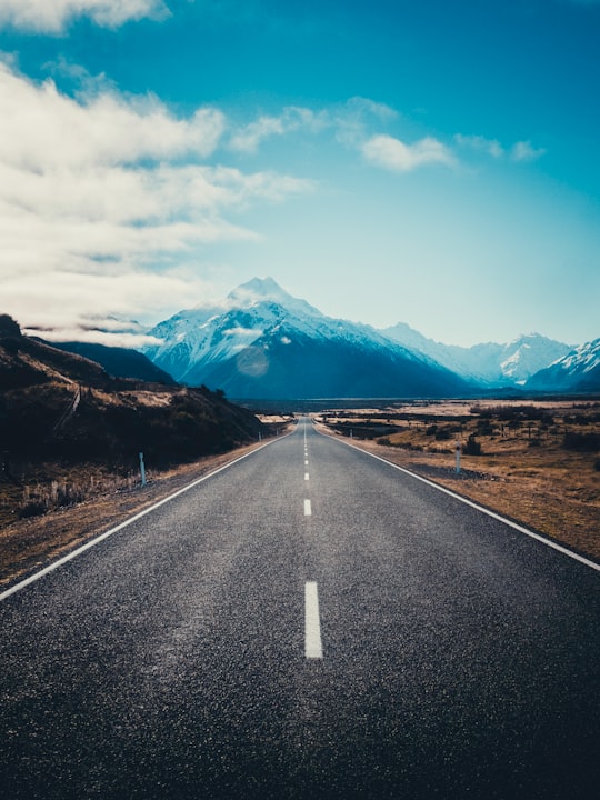
8 - Lake Tekapo
42 km away
Lake Tekapo is the second-largest of three roughly parallel lakes running north–south along the northern edge of the Mackenzie Basin in the South Island of New Zealand.
Learn more Book this experience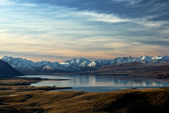

9 - Tekapo
42 km away
Lake Tekapo is a small town located at the southern end of the lake of the same name in the inland South Island of New Zealand. It had 369 residents according to the 2013 census, being one of five settlements in the sparsely populated Mackenzie Basin. SH 8 runs directly through the township – 227 km from Christchurch and 256 km from Queenstown. Daily shuttle services link Lake Tekapo to Christchurch and Queenstown. The lake is a popular tourist destination, and several resort hotels are located at the township. Lake Tekapo Airport is located 5 km west of the town. Chartered flights are available at locally based Air Safaris. Twizel lies 60km south of Lake Tekapo via Lake Pukaki and Burkes Pass lies 21km west along state highway 8.
Learn more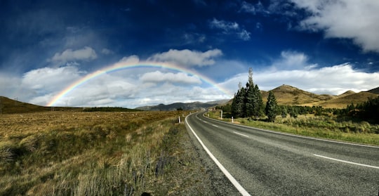
10 - Lake Tekapo Township
42 km away
Lake Tekapo is a small town located at the southern end of the lake of the same name in the inland South Island of New Zealand. It had 558 residents according to the 2018 census, being one of five settlements in the sparsely populated Mackenzie Basin. SH 8 runs directly through the township – 227 km from Christchurch and 256 km from Queenstown. Daily shuttle services link Lake Tekapo to Christchurch and Queenstown. The lake is a popular tourist destination, and several resort hotels are located at the township. Lake Tekapo Airport is located 5 km west of the town. Chartered flights are available at locally based Air Safaris. Twizel lies 60km south of Lake Tekapo via Lake Pukaki and Burkes Pass lies 21km west along state highway 8.
Learn more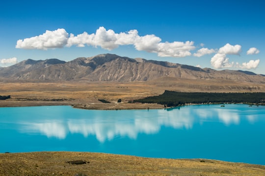
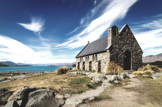
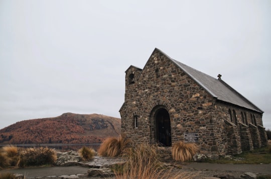
11 - Church of the Good Shepherd
42 km away
Learn more
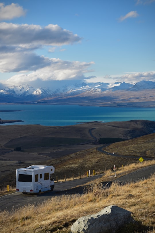
12 - Mount John
42 km away
Learn more
Disover the best Instagram Spots around Twizel here
Book Tours and Activities in Twizel
Discover the best tours and activities around Twizel, New Zealand and book your travel experience today with our booking partners
Pictures and Stories of Twizel from Influencers
Picture from Lawrence Makoona who have traveled to Twizel
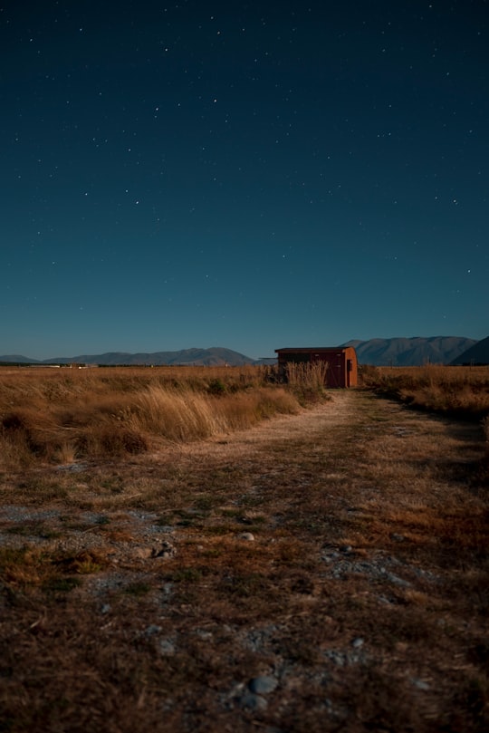
- Surreal landscape in Twizel New Zealand ...click to read more
- Experienced by @Lawrence Makoona | ©Unsplash
Plan your trip in Twizel with AI 🤖 🗺
Roadtrips.ai is a AI powered trip planner that you can use to generate a customized trip itinerary for any destination in New Zealand in just one clickJust write your activities preferences, budget and number of days travelling and our artificial intelligence will do the rest for you
👉 Use the AI Trip Planner
Why should you visit Twizel ?
Travel to Twizel if you like:
🌲 EcoregionWhere to Stay in Twizel
Discover the best hotels around Twizel, New Zealand and book your stay today with our booking partner booking.com
More Travel spots to explore around Twizel
Click on the pictures to learn more about the places and to get directions
Discover more travel spots to explore around Twizel
🏖️ Shore spots 🌲 Ecoregion spotsTravel map of Twizel
Explore popular touristic places around Twizel